Live
151
Stacked Golf
Join auctions, enjoy the banter, and find Districts you love
New, popular and trending communities
Welcome to Niknax–an online marketplace that connects buyers with sellers who offer a variety of quality merchandise. Niknax was started by Jocelyn Elizabeth, also known as Crazy Lamp Lady, in October 2023. If you'd like to join our collective of sellers, please do not hesitate to apply. If you're looking for that special something for yourself or a friend, we invite you to browse around and discover something that speaks to you–while also supporting a small business.
A Golf Marketplace for Golfers by Golfers!
Virtual Antique Marketplace (VAMP) is a curated live seller marketplace for real vintage and real antiques, built around a social, community driven experience. We connect knowledgeable sellers with passionate buyers who love the stories behind vintage. VAMP features hard goods, vintage clothing, collectibles, décor, glass, mid century modern, kitsch, and more through interactive live sales and curated listings. Real Vintage. Real Community.
On behalf of the entire Craigslist Hunter team, I am thrilled to extend a warm welcome to everyone. Discover a uniquely curated marketplace offering an ever-evolving selection of authenticated art, jewelry, fashion accessories, collectibles, antiques, and more—each piece chosen with care and character to inspire and delight. To get started, simply become a member and start exploring the world of CraigslistHunter Marketplace.
Discover and buy top-quality, wholesale products from trusted sellers. Buyer and Seller Protection on all transactions. Brought to you by Commonwealth Picker.
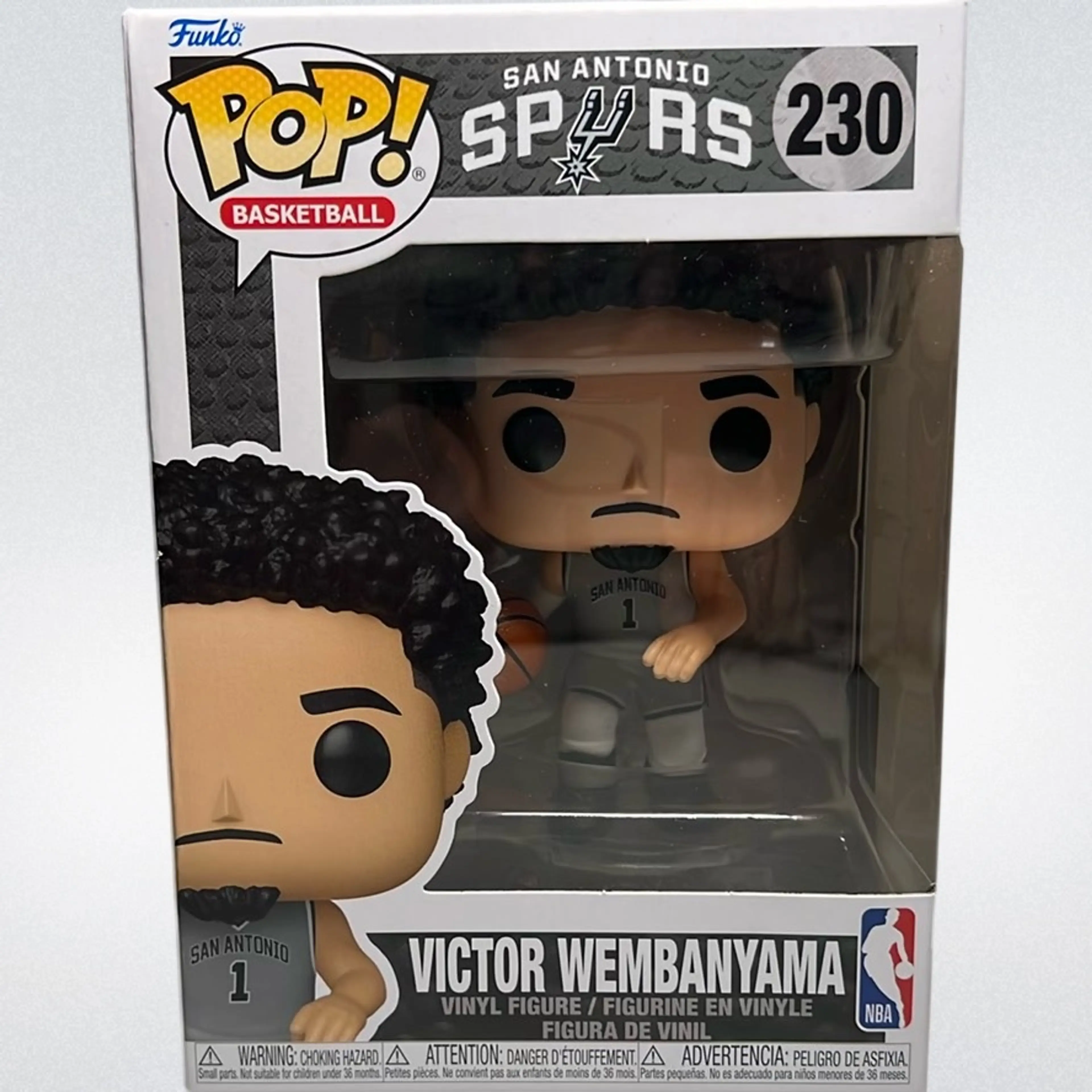
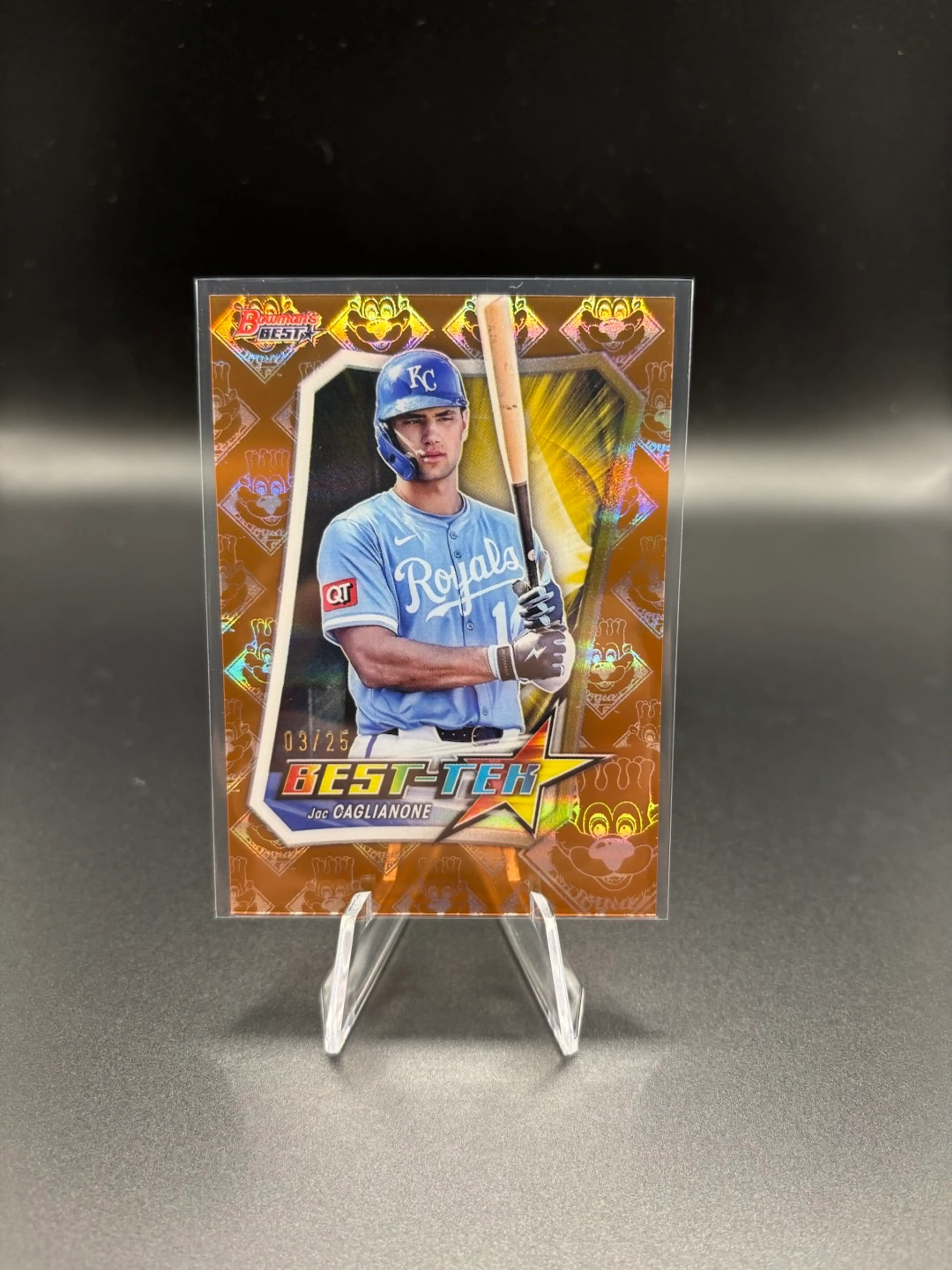
Sports Card Breaks and trusted hobby sales for over 7 years. Collector advocate and founder of Break Club NFT. Always here to help new and returning collectors.
The Tool Trader Network is where real woodworkers gather to trade tools, share knowledge, and grow the craft.
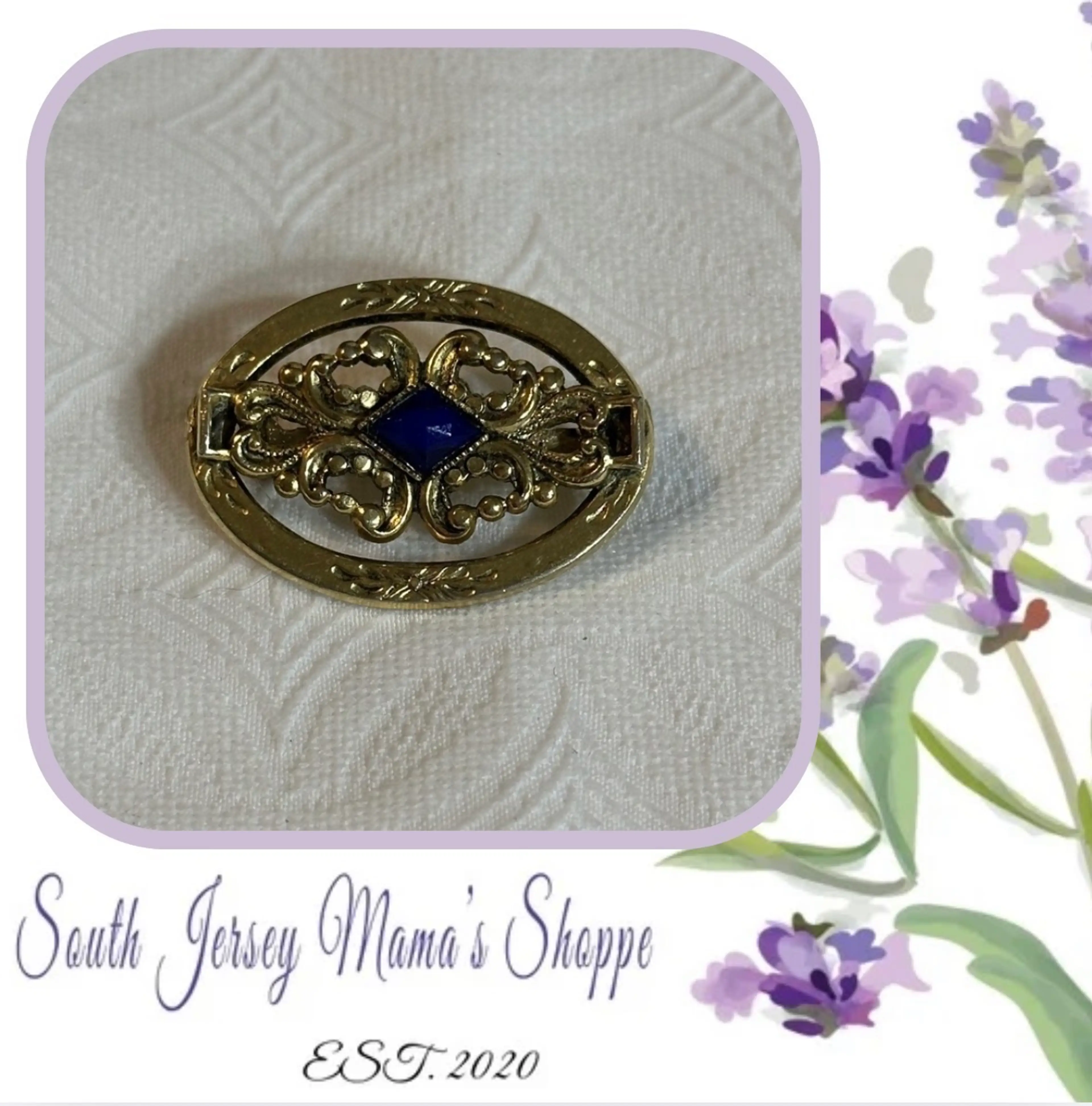
Home to the very best vintage, antique, modern and handmade jewelry + accessories (bags, belts, hats, and more!) for sale. Schedule your live sales anytime! Community themed trains weekly! All jewelry addicts welcome here. Buy and sell your collection with us!
Welcome to Quirky Groovy Vintage. This is a one stop shop for everything! QGV was founded in May of 2022 on FB. We are super excited to expand into District! Please feel free to apply to sell with us and/or enjoy shopping all of our member's quirky, groovy, vintage finds from Y2K to older! We require measurements, clear photos of the item and a description including condition. Please utilize the chat channels for any questions that you may have. Thanks for joining us!
A marketplace for custom mechanical keyboards and everything related to them. Buy and sell custom mechanical keyboards, keycaps, and accessories! Brought to you by Hipyo Tech
Your go-to place to buy & sell, celebrate, collaborate, and build community with fellow secondhand-obsessed individuals - founded by The Rural Legend Co. WELCOME to the Squad! *NEW* Secondhand Squad Merch is now available! shop here: https://www.bonfire.com/store/the-rural-legend/
NN Marketplace is a secure location where you can... 💰 Buy and sell secondhand bags from verified sellers 👊 Connect and chat with other bag lovers 🎒 Enter more NN Giveaways 💬 Reach out to me and ask me anything 🤫 Find exclusive NN gear that you won't be able to get anywhere else! Go ahead and check our awesome listings - happy buying everyone!
Real products. Real people. Real deals. We are more than just a shopping destination; we're a community where values matter. We celebrate creativity, sustainability, and ethical business practices.
Welcome to Terra Flora—where plant lovers unite and houseplant obsessions are celebrated! From rare gems to leafy stunners, our marketplace is packed with handpicked finds from sellers who love plants just as much as you do. Whether you're chasing that next green addiction or just starting to get your thumbs dirty, we’ve got you covered. Let’s grow together, one quirky leaf at a time!
Join auctions, enjoy the banter, and find Districts you love
New, popular and trending communities
Welcome to Niknax–an online marketplace that connects buyers with sellers who offer a variety of quality merchandise. Niknax was started by Jocelyn Elizabeth, also known as Crazy Lamp Lady, in October 2023. If you'd like to join our collective of sellers, please do not hesitate to apply. If you're looking for that special something for yourself or a friend, we invite you to browse around and discover something that speaks to you–while also supporting a small business.
A Golf Marketplace for Golfers by Golfers!
Virtual Antique Marketplace (VAMP) is a curated live seller marketplace for real vintage and real antiques, built around a social, community driven experience. We connect knowledgeable sellers with passionate buyers who love the stories behind vintage. VAMP features hard goods, vintage clothing, collectibles, décor, glass, mid century modern, kitsch, and more through interactive live sales and curated listings. Real Vintage. Real Community.
On behalf of the entire Craigslist Hunter team, I am thrilled to extend a warm welcome to everyone. Discover a uniquely curated marketplace offering an ever-evolving selection of authenticated art, jewelry, fashion accessories, collectibles, antiques, and more—each piece chosen with care and character to inspire and delight. To get started, simply become a member and start exploring the world of CraigslistHunter Marketplace.
Discover and buy top-quality, wholesale products from trusted sellers. Buyer and Seller Protection on all transactions. Brought to you by Commonwealth Picker.
Sports Card Breaks and trusted hobby sales for over 7 years. Collector advocate and founder of Break Club NFT. Always here to help new and returning collectors.
The Tool Trader Network is where real woodworkers gather to trade tools, share knowledge, and grow the craft.
Home to the very best vintage, antique, modern and handmade jewelry + accessories (bags, belts, hats, and more!) for sale. Schedule your live sales anytime! Community themed trains weekly! All jewelry addicts welcome here. Buy and sell your collection with us!
Welcome to Quirky Groovy Vintage. This is a one stop shop for everything! QGV was founded in May of 2022 on FB. We are super excited to expand into District! Please feel free to apply to sell with us and/or enjoy shopping all of our member's quirky, groovy, vintage finds from Y2K to older! We require measurements, clear photos of the item and a description including condition. Please utilize the chat channels for any questions that you may have. Thanks for joining us!
A marketplace for custom mechanical keyboards and everything related to them. Buy and sell custom mechanical keyboards, keycaps, and accessories! Brought to you by Hipyo Tech
Your go-to place to buy & sell, celebrate, collaborate, and build community with fellow secondhand-obsessed individuals - founded by The Rural Legend Co. WELCOME to the Squad! *NEW* Secondhand Squad Merch is now available! shop here: https://www.bonfire.com/store/the-rural-legend/
NN Marketplace is a secure location where you can... 💰 Buy and sell secondhand bags from verified sellers 👊 Connect and chat with other bag lovers 🎒 Enter more NN Giveaways 💬 Reach out to me and ask me anything 🤫 Find exclusive NN gear that you won't be able to get anywhere else! Go ahead and check our awesome listings - happy buying everyone!
Real products. Real people. Real deals. We are more than just a shopping destination; we're a community where values matter. We celebrate creativity, sustainability, and ethical business practices.
Welcome to Terra Flora—where plant lovers unite and houseplant obsessions are celebrated! From rare gems to leafy stunners, our marketplace is packed with handpicked finds from sellers who love plants just as much as you do. Whether you're chasing that next green addiction or just starting to get your thumbs dirty, we’ve got you covered. Let’s grow together, one quirky leaf at a time!
 N
N S
S D
D V
V C
C C
C M
M T
T V
V Q
Q B
B S
S N
N K
K TNSDVCCMTVQBSNKT